
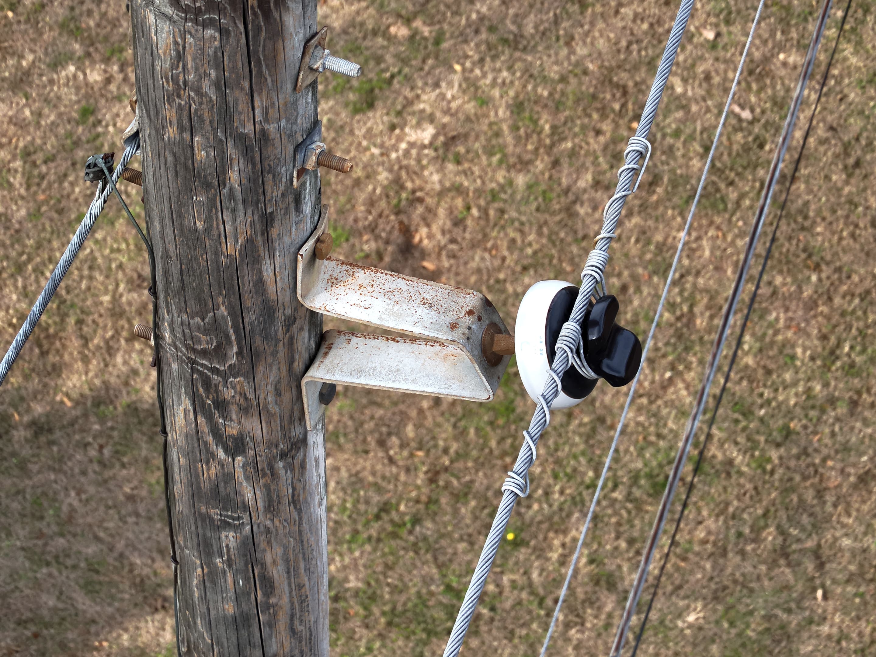
Use case
Utilities
Distribution, public power, co-ops
What you get
Every pole's photos, findings, and history in one place, next to the systems you already run.
Your GIS and asset system stay the systems of record. BaseState keeps the evidence they were never built to hold.
- Your assets
- Poles, spans, and feeders, under the names your crews already use.
- Which poles need work?
- Condition and severity from your catalog, with the photo that shows it.
- What did the last inspection find?
- The next one picks up where it ended, with every document behind it.
The problem
Four apps and 100,000 photos stand between the field and the report.
We've lived it: before BaseState, we built drone inspection software for utilities. Photos piled up faster than anyone could review them, a photo not tied to its pole was lost, and someone still wrote the report by hand.
- Processing
- GIS
- Asset system
- Spreadsheets
Each with its own records. Each one learned by hand.
photos a year in one utility's drone program, reviewed one at a time.1
¹ One utility drone program's inspection volume. Public podcast, May 2026.
Inspection
Capture in. Report out.
Drone imagery is the hardest data there is: huge, messy, and worthless until each photo is tied to what it shows.
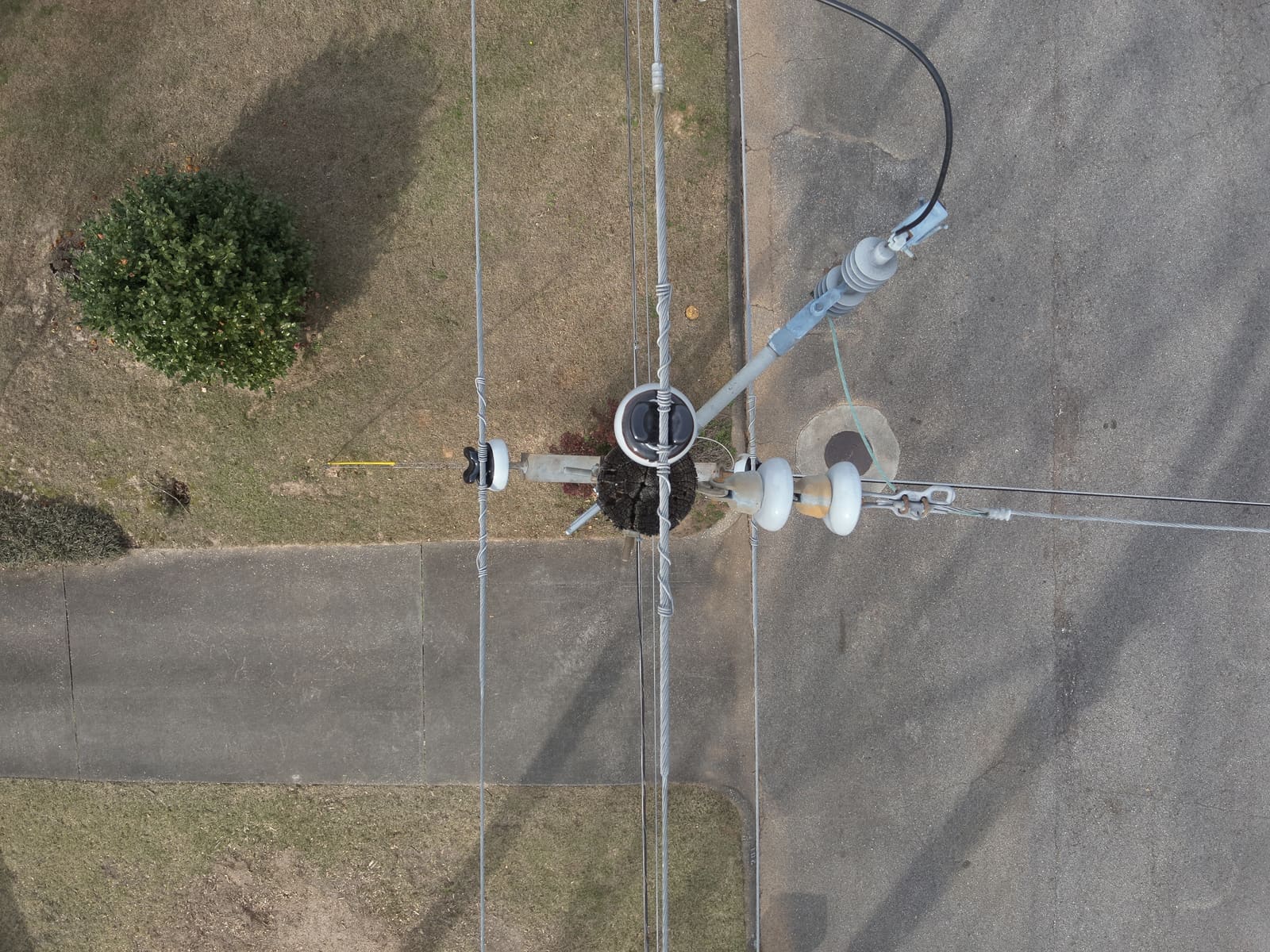
Upload
Send the capture
Drone and phone photos, straight off the card.
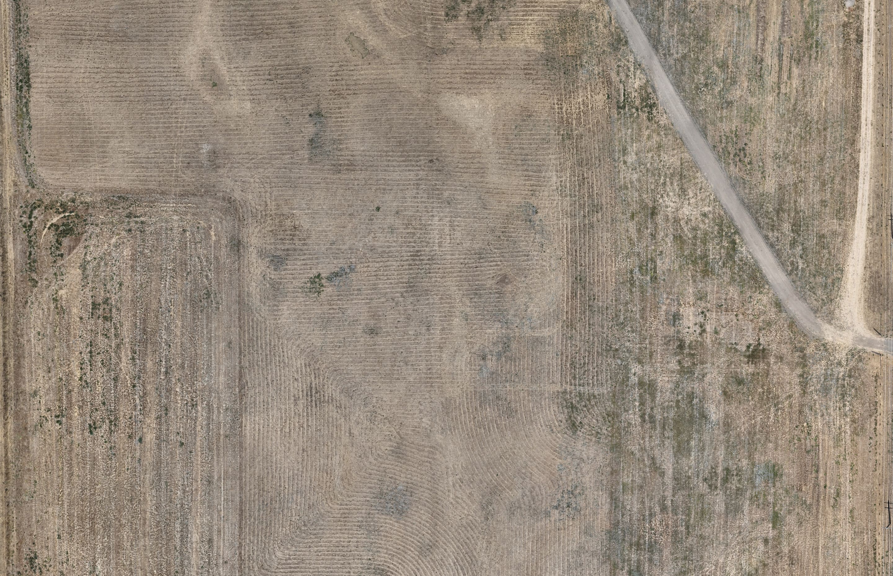
Process
One map of the whole site
An orthomosaic and surface model, in place on the map.
Match
Every photo on its asset
Findings get a condition and severity from your catalog, photo attached.
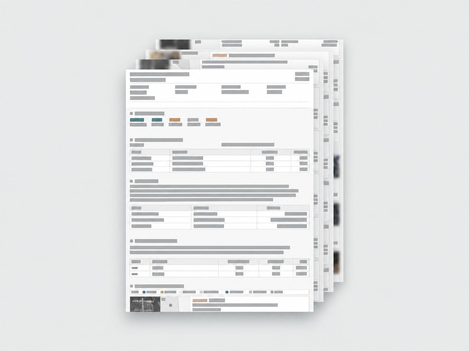
Report
The report, and the record
Findings go in the report, and stay on each asset for next time.
Drone, phone, and field crews today. Ground robots and fixed sensors with Rogue Cortex, coming Q4 2026. Read the announcement
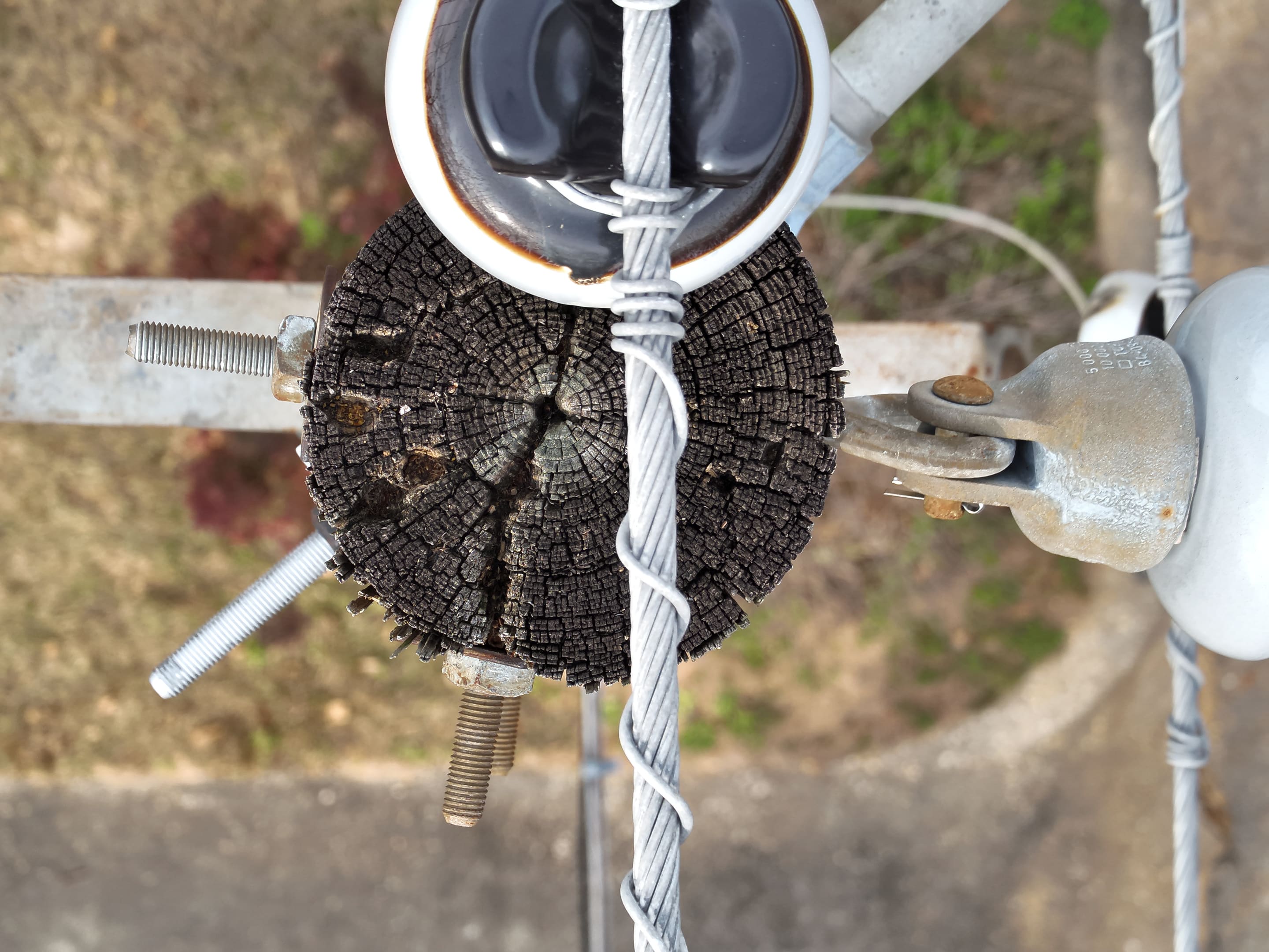
Asset matching
Beyond geotags.
Match imagery to the asset it shows and its location. Keep findings and evidence with the right asset, and inspect the matching report alongside the results.
Talk to the founders.
Tell us how your team works and what gets in the way. We’ll look at the process together and see where BaseState can help.
45-minute video call with Paul or Hanyi.