
Use case · By invitation
Sites & stormwater
Site operators · property management · water systems · municipalities
Recorded in BaseState from the live simulation, driven by an AI assistant.
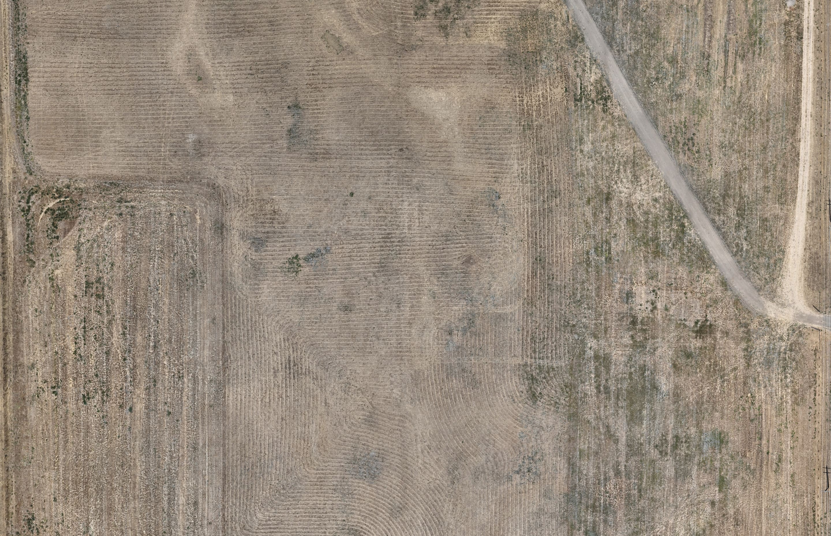
Drone survey by 2cofly
What you get
See where the water goes before the storm does.
Fly the site once. BaseState turns the survey into terrain and rains on it: a storm from the weather record, or the 10- and 100-year design storm. Watch where water runs, where it stands, and how deep it gets.
- Your survey
- The orthomosaic and surface model from a drone flight you already have.
- Your answer
- Where water pools, how deep it gets, and how much leaves the site.
- Your report
- The findings, the maps and the model's assumptions, reviewed and signed.
Storm simulation · By invitation
Then we make it rain.
The same survey becomes terrain for a storm. Pull up a real storm from the weather record, or plan for the one you have not had yet. Ask the AI where water stands, then check its answer on the map. The model's inputs, assumptions and limits sit right beside the results.
Drone survey by 2cofly
Real storms, and the ones you plan for
Replay a storm that hit your site, straight from the weather record, or run the 10-year and 100-year storm.
Flooding, as it happens
Watch water rise and pool in real time. Click anywhere to read its depth, its flow and the ground that drains to it.
Drains, sized
Place an inlet, a pipe and an outfall, and see the flow against the pipe's capacity before anyone digs.
Talk to the founders.
Tell us how your team works and what gets in the way. We’ll look at the process together and see where BaseState can help.
45-minute video call with Paul or Hanyi.